


.jpg)
We go from storms on Monday to sunshine & spring-like weather today for your Tuesday, then for Wednesday evenig/night snow showers. Just by all this, you know you're in Kentucky.
Let's get to talking about what to expect over the next 24-48 hours & take a look at your forecast as we head into your weekend.
With a wind shift, cold air will move into place tonight across the state. We will see the best chance of rain, rain/snow, & snow by sunset Wednesday into the overnight hours and into the early morning hours Thursday. As of now, it stands that how much snow you'll see, depends where you are. East of I-65 will have some impacts to travel for Wednesday evening. Locally we are forecast to see up to a possible 1/2", other areas could see up to 1". Once this system moves out of the state Wednesday night, we will have some cold temperatures as Thursdays highs will hang around the low to mid 30s.
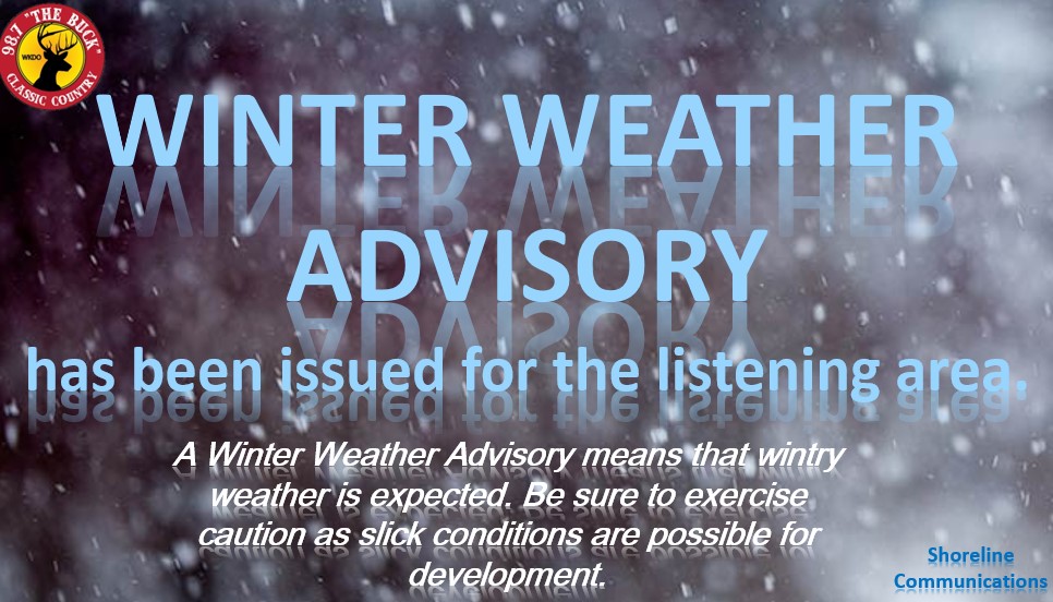
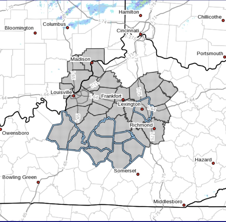
A Winter Weather Advisory (for South Central/Northern counties above) has been issued & will take effect from 4 PM Wednesday into 1 AM Thursday morning. Total snow accumulations of up to 1" are possible during the evening commute. This will affect areas generally along & East of I-65 & North of a line from Elizabethtown to Liberty.
.jpg)
A Winter Weather Advisory (for Eastern counties above) has been issued & will take effect from 4 PM Wednesday to 3 AM Thursday morning. Total snow accumulations for this area of up to 1" are possible during the evening commute.
Let's take a look at your detailed forecast from Wednesday into the weekend below:
Wednesday - 70% Rain; Mostly Cloudy; Highs in the low 40s. *Winter Weather Advisory takes effect 4 PM*
Wednesday Night - 60% Rain-Rain/Snow-Snow; Mostly Cloudy; Lows in the low 20s; New snow accumulation of up to s possible 1/2" locally.
Thursday - Sunny; Highs in the mid 30s. *Winter Weather Advisory expires 1 AM*
Thursday Night - Mostly Clear; Lows around 20.
Friday - Sunny; Highs in the low to mid 40s.
Friday Night - Partly Cloudy; Lows in the mid 20s.
Saturday - 30% Showers; Mostly Cloudy; Highs in the upper 40s.
Saturday Night - 80% Showers; Lows in the upper 30s, around 40.
Sunday - 30% Showers; Mostly Cloudy; Highs in the low 50s.
Sunday Night - 20% Rain/Snow; Mostly Cloudy; Lows in the low 30s.
Keep an eye for new blogs to be posted if there are any major changes with this system.
-Crystal
crystal@shorelinestations.com
